HIKING ON MOUNT KILIMANJARO
It is a volcano layer formed by three craters: the oldest, Shira, to the west, with an altitude of 3,962 meters, Mawenzi, to the east, with an altitude of 5,149 meters and, between the first two, Kibo, which is the most recent and still shows signs of activity, in the form of fumaroles. Between Kibo and Mawenzi lies a platform of approximately 3,600 metres, called “the saddle”, which constitutes the largest area of high-altitude tundra in Africa. The summit of the volcano is covered by a perennial glacier (the Rebmann Glacier).
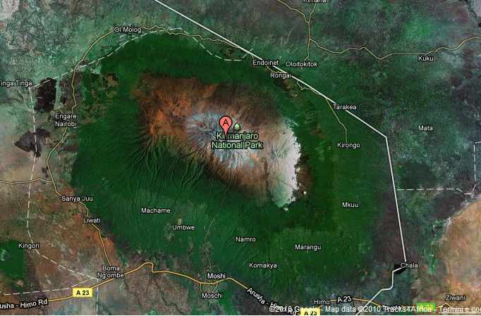
Kilimanjaro National Park (Kilimanjaro National Park) is one of the main national parks in Tanzania. It covers an area of 756 km². In 1910 it was declared a nature reserve by the German colonial government. In 1921 it became a forest reserve.
In 1973 the mountain area above the tree line (~2,700 m) was reclassified as a National Park and was opened to public access in 1977. The park was declared a UNESCO World Heritage Site in 1987.
The Park is located in the north-eastern part of Tanzania on the border with Kenya. The park’s main entrance, Marangu Gate, is located about 30 km north of the city of Moshi, at 1,870 m altitude.


HIKING
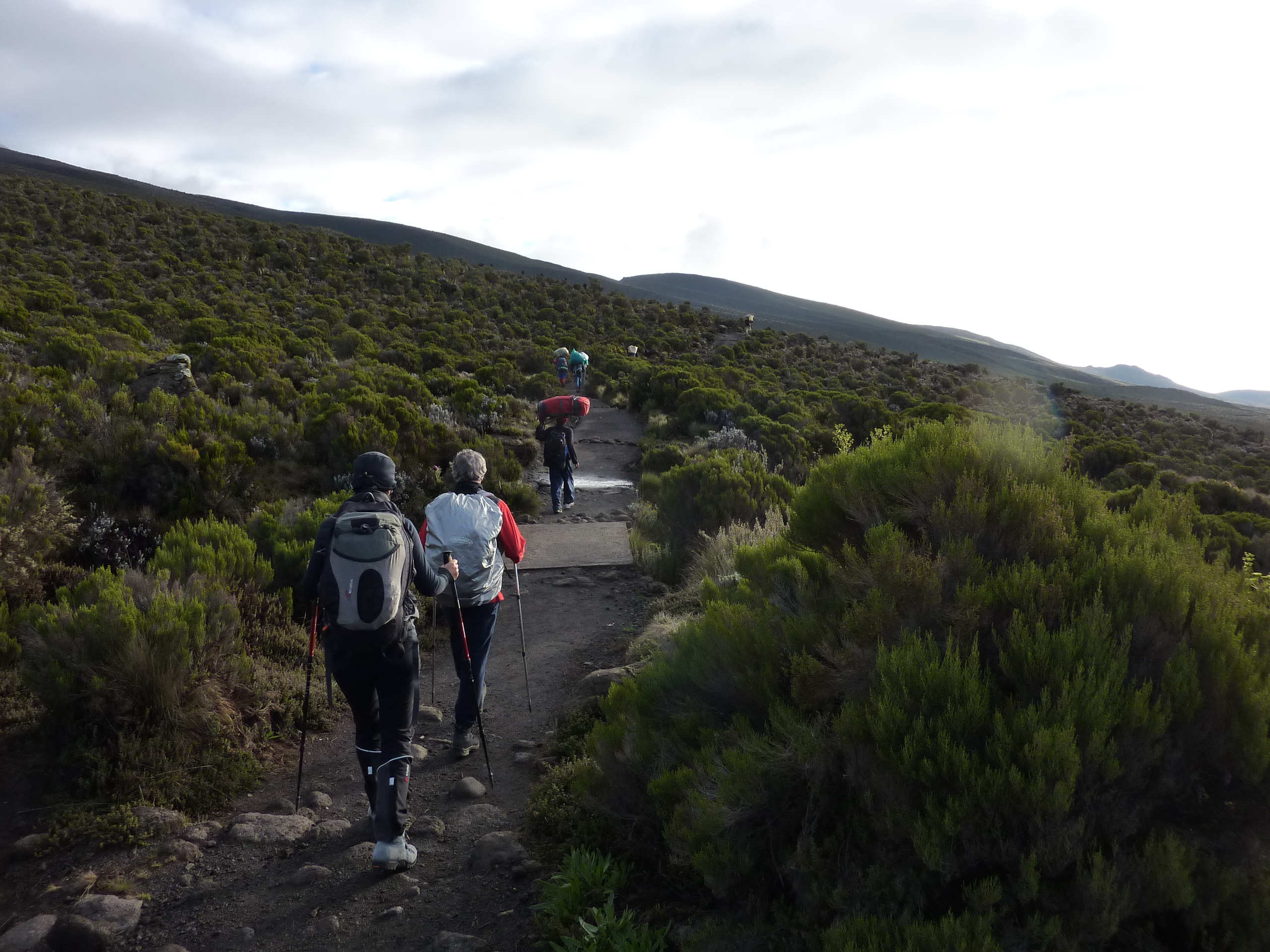
There are many paths to reach the summit, most of which start from the southern side of the volcano. The access routes from the northern side are reserved for experienced mountaineers. The Mweka trail is the quickest route but is steep and dangerous. The same can be said of the Umbwe trail which is mainly used for rapid descent on the way back. The Machame trail is one of the most spectacular, but does not offer many shelter options. The most convenient route, and also the most used by tourists, is the Marangu Road.
Climbing to the top of Kilimanjaro via the Marangu road does not require any particular mountaineering skills or equipment. However, good physical preparation, the support of a guide and local porters, as well as having at least 6 days available is advisable.


